LOWER RAINY RIVER BATHYMETRIC SURVEY
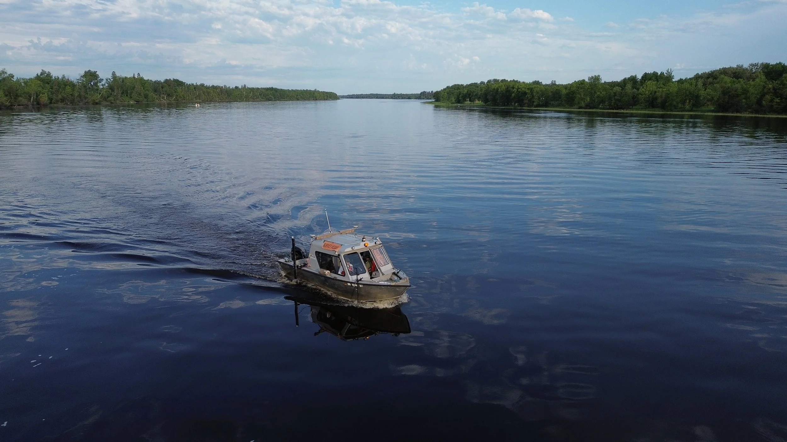
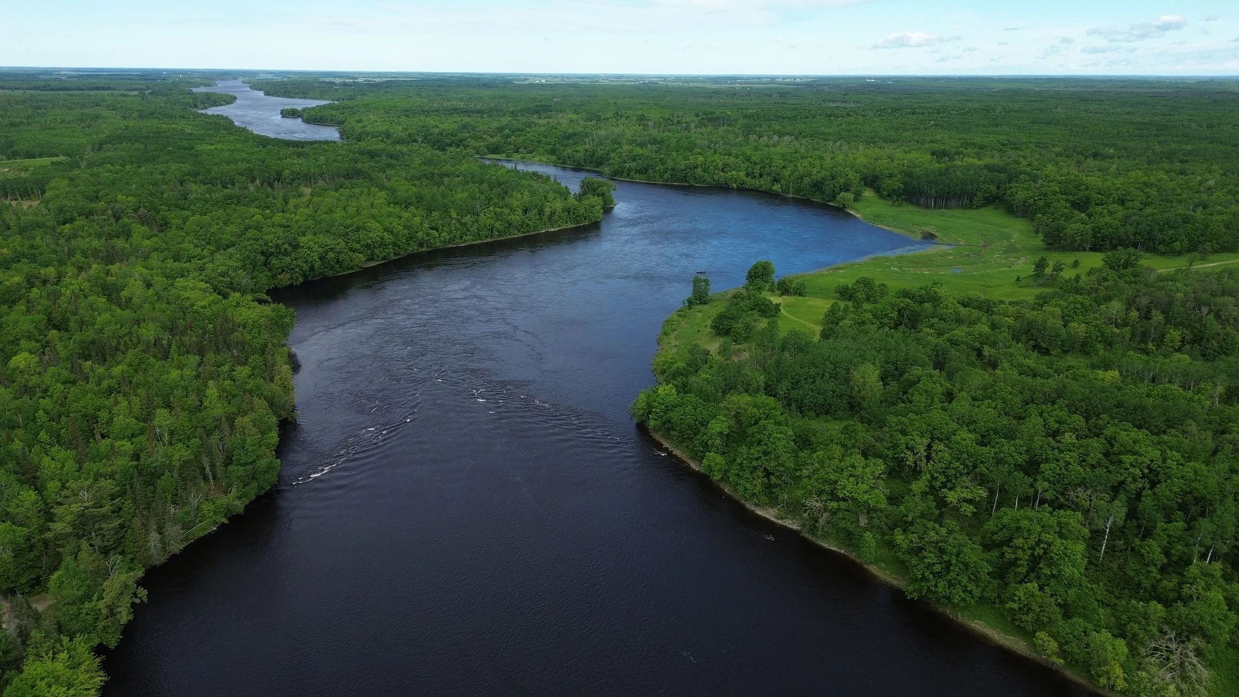
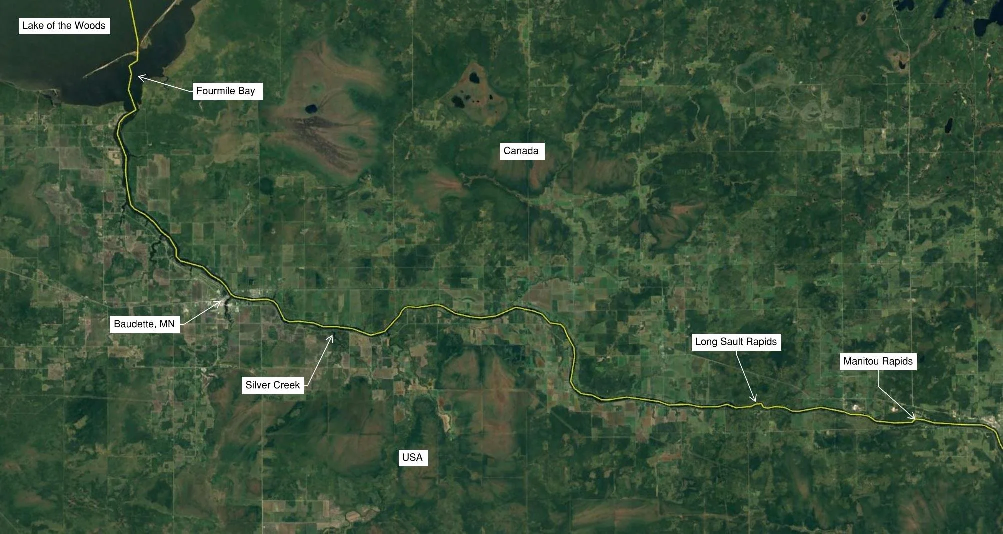
AMI completed a comprehensive multibeam bathymetric survey along 48 miles of the Lower Rainy River, stretching from Manitou Rapids downstream to Fourmile Bay in Lake of the Woods. Updated bathymetry provides critical information for scientific research and river management.
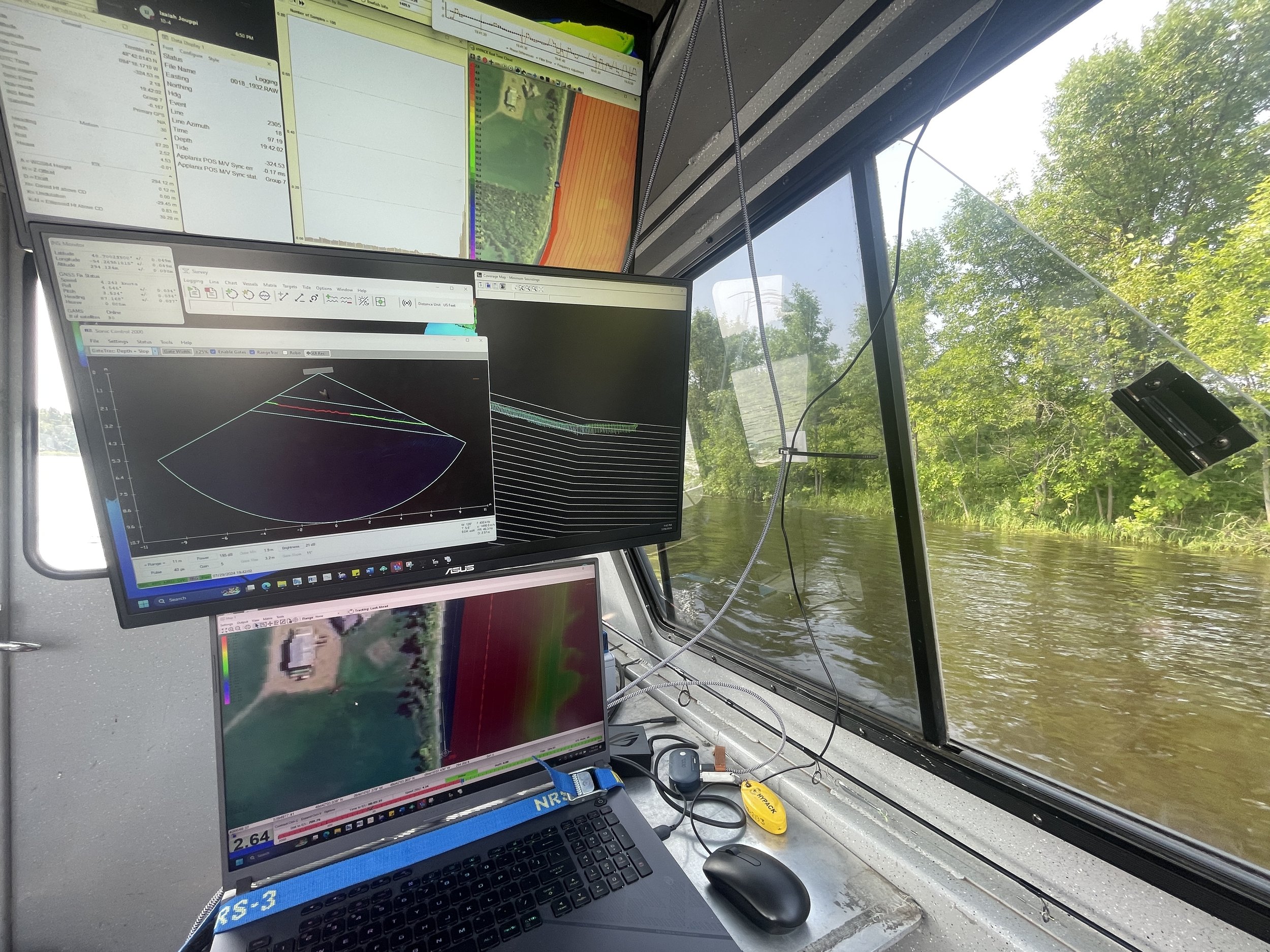
AMI’s survey covered the entire width of the river (varying between 700 to 1,300 feet), shoreline to shoreline, even as shallow as 4 feet of water. Long Sault Rapids posed a unique challenge with boulders, islands, and swift currents. Thanks to unseasonally high-water levels and advanced equipment, AMI safely surveyed these rapids in great detail. Most of the river featured steep shorelines and relatively flat bottoms, allowing for efficient survey of up to 2 river miles per day.
In all, our survey crew worked 6 days per week for 6 weeks to complete this extensive project, covering over 1,000 miles on the water. After the survey was completed, AMI reviewed, cleaned, and sorted the data to create a final deliverable.
Key partners included the International Joint Commission (IJC), Environment and Climate Change Canada (ECCC), Lake of the Woods Water Sustainability Foundation (LOWWSF), National Park Service (NPS), and the United States Geological Survey (USGS). Collected data will be used to update many watershed and integrated environmental models, locate submerged hazards, update rule curves, and identify key habitat and spawning areas for fish and wildlife.


Our client guarantee is to provide project excellence, meaning no matter what we do, we will deliver on our Core Values of client service, can-do attitude, creativity and innovation, employee success, work/life balance, and integrity and trust. AMI was founded on the concept that we could solve complex problems by empowering great people. This concept still holds true today, as our scientists explore the latest in environmental legislation and regulations and incorporate the most up-to-date technology to gather and report data.